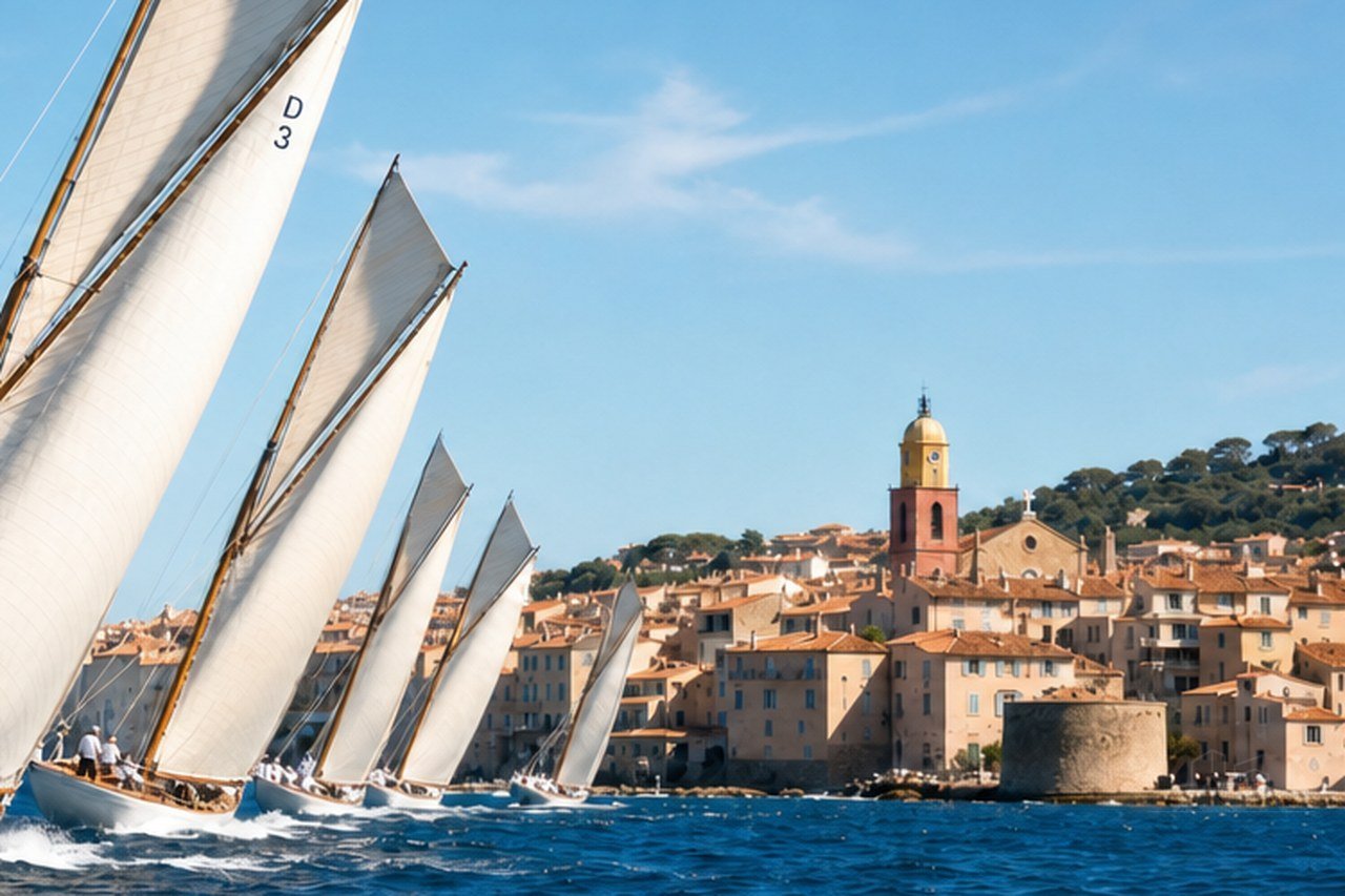
Les Voiles de Saint-Tropez
11 September 2026
2,616 hours of sunshine, 61 rainy days and a sea at 25 °C in August. Here is the climate of Sainte-Maxime, backed by the official figures.
View our homesThat is the first question people ask when they think about settling here, and it deserves better than a brochure answer. So here are the figures, their source, and what they change day to day when you live in the town all year.
First, a point of honesty. Sainte-Maxime has no official weather station. The averages below come from the Météo-France station at Fréjus, some fifteen kilometres away, on the coast and on the same stretch of shoreline. It is the closest comparable reference.
| Month | Max. | Avg. | Min. | Rain | Rainy days | Sun | Sea |
|---|---|---|---|---|---|---|---|
| January | 13,3 °C | 8,6 °C | 4,0 °C | 69.8 mm | 5,7 j | 151,6 h | 14,3 °C |
| February | 14,0 °C | 8,9 °C | 3,8 °C | 51.6 mm | 5,1 j | 167,6 h | 13,7 °C |
| March | 16,3 °C | 11,2 °C | 6,1 °C | 49.6 mm | 5,0 j | 213,7 h | 13,7 °C |
| April | 18,6 °C | 13,6 °C | 8,6 °C | 70.2 mm | 6,4 j | 220,7 h | 14,9 °C |
| May | 22,4 °C | 17,4 °C | 12,5 °C | 43.9 mm | 5,0 j | 262,4 h | 17,6 °C |
| June | 26,3 °C | 21,2 °C | 16,2 °C | 31.8 mm | 3,4 j | 296,5 h | 21,5 °C |
| July | 29,1 °C | 23,8 °C | 18,6 °C | 15.6 mm | 1,4 j | 337,6 h | 24,4 °C |
| August | 29,3 °C | 24,0 °C | 18,7 °C | 27.2 mm | 2,1 j | 297,4 h | 25,1 °C |
| September | 25,6 °C | 20,5 °C | 15,4 °C | 81.0 mm | 4,8 j | 233,7 h | 23,2 °C |
| October | 21,5 °C | 16,9 °C | 12,2 °C | 115.5 mm | 7,4 j | 172,2 h | 20,5 °C |
| November | 16,9 °C | 12,5 °C | 8,0 °C | 132.5 mm | 8,3 j | 141,6 h | 18,0 °C |
| December | 13,7 °C | 9,3 °C | 4,9 °C | 96.9 mm | 6,5 j | 121,2 h | 15,8 °C |
| Year | 20,6 °C | 15,7 °C | 10,8 °C | 785.6 mm | 61,3 j | 2 616 h | 18,6 °C |
Temperatures, rainfall and rainy days: 1991-2020 averages from the Météo-France station at Fréjus, some fifteen kilometres away. Sunshine: the same averages, published by Infoclimat, as the official record does not release this figure. Sea temperature: ten-year averages recorded by seatemperature.info, given as a guide.
The first figure is sunshine: about 2,616 hours a year, an average of 218 hours a month. July peaks at 338 hours, December drops to 121. So even the darkest month of the year keeps nearly four hours of sun a day.
The second is rain: only 61 days a year, for 786 millimetres. In other words, it rains rarely but hard.
July has 1.4 rainy days and 15.6 millimetres. November has 8.3 for 132.5 millimetres. This is not the same climate as fine, steady rain.
The third is the average annual temperature: 15.7 °C, with an average high of 20.6 °C and a low of 10.8 °C. Put plainly, extremes stay rare, and the gap between summer and winter holds within about twenty degrees.
Sixty-one rainy days a year, but 786 millimetres: here it rains rarely, and a great deal at once.
The winter is mild and bright. From December to February, the average high holds between 13.3 and 14.0 °C, and the low between 3.8 and 4.9 °C. Frost happens but stays rare by the sea. A fine January day is spent outdoors, in a jumper, on the seafront.
Spring climbs fast. March already gains 214 hours of sun, April 221, and May moves up to 262 hours with an average high of 22.4 °C. May is also one of the driest months of the year, with 43.9 millimetres. It is the finest time for walking in the hills.
The summer is hot and dry. July and August pass 29 °C average highs, with 18.6 and 18.7 °C at night. Rain becomes marginal, and sunshine peaks. It is also the season when the town changes scale, with the influx of holidaymakers.
Autumn is the residents' favourite season. September keeps a high of 25.6 °C and a sea at 23 °C, once the holidaymakers have gone. October stays at 21.5 °C. On the other hand, it is also the rainy season: 81 millimetres in September, 115.5 in October, 132.5 in November.
The sea follows the seasons two months behind the air. It reaches its low in February and March, around 13.7 °C, and its high in August, at about 25 °C. July is already at 24.4 °C, and September stays at 23.2 °C.
In practice, the comfortable swimming season runs from June to October. June opens at 21.5 °C, October still closes at 20.5 °C, which always surprises newcomers. Regulars swim from May to November, and a few all year.
These water temperature figures come from ten-year averages published by a specialist aggregator, not from an official body. Take them as an order of magnitude. For the figure of the day, Météo-France publishes a beach weather page for the town.
Several winds cross the region, and Météo-France describes them precisely. The mistral, blowing from the north in the Rhône valley, turns into a westerly on the Var coast. It is dry and gusty, blows at 50 km/h on average with gusts of 80 to 100 km/h, and runs stronger in winter and spring.
The levant comes from the east. It is mild and very damp, brings heavy skies and rain, and blows mainly from late autumn to spring. The marin, from the south-east, turns more frequent in spring and autumn, with heavy rainfall.
Two others complete the picture. The libeccio, from the south-west, arrives warm and dry on the Côte d'Azur. The grégale, from the north-east, arrives cold and dry, and can bring spring frosts.
One last point of orientation.
The gulf opens to the east, and nautical guides list the port of Sainte-Maxime as sheltered, except from the mistral. The easterly spells, for their part, are the ones that work on the coast and the shoreline.
This is the phenomenon to know about before settling on this coast, and it explains the shape of the local rainfall. Météo-France defines a Mediterranean episode as very heavy rainfall over a short period, generally one to twenty-four hours.
The mechanism comes from warm, humid, unstable air rising from the Mediterranean, which generates violent storms, sometimes stationary. These episodes occur mainly in autumn, from September to mid-December, when the sea is still warm and evaporation stays strong.
Météo-France counts three to six a year on average, and notes that totals can pass 200 millimetres in a single day.
That is exactly what the station averages show: the rain peak falls in September, October and November, over few days.
What to do is simple, and it applies to everyone. Follow the Météo-France warnings during those months, never drive onto a flooded road, and follow the town's instructions. The rest of the year, the question does not arise.
A climate like this translates first into usable square metres. A terrace works from April to October, and sometimes beyond: seven months during which an extra room joins the home at no rent. Several of our flats have one, from twelve to sixteen square metres.
Next, it translates into running costs. With average lows around four degrees in winter, heating needs stay moderate. July and August, however, call for cooling: that is why several of our homes have reversible air conditioning, which works both ways.
Finally, it translates into the rhythm of life. Residents go out early in summer and keep the afternoon in the shade. They walk in the Maures in spring and autumn.
They enjoy the seafront in winter, when it belongs to them alone.
We do not publish forecasts on this site, and that is deliberate. Forecasts change every hour, and the official source does that far better than we do. Météo-France publishes a page dedicated to the town, with today's forecast, a fifteen-day outlook, the rain radar and a comparison with the seasonal averages.
The address is meteofrance.com, forecasts section, Sainte-Maxime, postcode 83120. The same site publishes a beach weather page for the town, with today's water temperature.
For trips out to sea, also check the marine forecast and the warnings. A day of mistral completely changes the crossing conditions in the gulf, and the ferry sometimes adjusts its service.
We want to say where the figures on this page come from. Temperatures, rainfall and the number of rainy days come from the official Météo-France climate record for the Fréjus station, 1991-2020 averages, with readings going back to 1919.
Sunshine comes from the same averages, published by Infoclimat. The station's official record does not release this figure, so we do not attribute it to Météo-France. The figures often quoted for the Côte d'Azur, of 2,800 or 3,000 hours, have no verifiable source, and we do not repeat them.
Sea temperatures come from a specialist aggregator, based on averages over the last ten years. The definitions of the winds and of Mediterranean episodes come from the Météo-France explanatory pages.
Finally, anything we could not verify does not appear here. We publish no numerical wind rose for the gulf, no count of storm days and no mistral frequency for the town: those figures are not released for this station, and we prefer to say so rather than put forward an approximate number.
The figures tell you the climate, but they do not tell you everything. What strikes newcomers is not the mildness of the winter: it is the contrast between two full months and ten quiet ones. The weather goes with that rhythm, it does not create it.
Here is the practical consequence, and it holds for a visit as much as for a move. Come out of season if you want to judge the town. You will find the same sky, the same sea and the same light, without the summer crowds or the summer traffic.
That is in fact what we advise every applicant hesitating between two neighbourhoods. A visit on a Tuesday in November tells you more than a visit on a Saturday in August, and the decision comes more easily.